We usually use Google Maps with its default styles which is the most familiar one to all. Maps are used so widely in web design and they are usually expected to be interactive when presenting data. It can be the branches of an international company, statistics about countries or just destinations to visualize. Like said, lots of uses.
Google map and Google Earth are already available to help you but myriad of other tools are there which enable you to create beautiful interactive maps to serve your purpose. Here we’ve gathered 15 free excellent tools that let you create your own maps.
From maps that are conveniently made for sharing to ones that are quite interactive, the selection below has a range of things to satisfy your mapping needs. Enjoy !!
1. Maptive
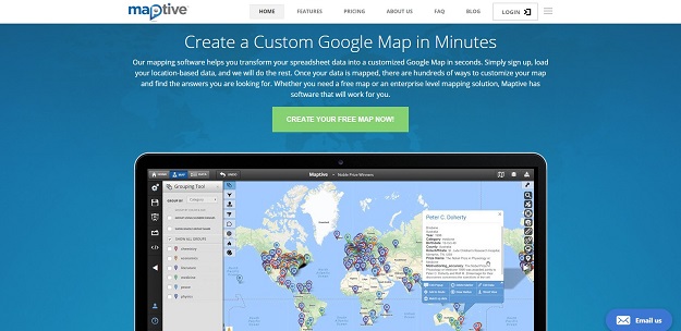
Maptive is a powerful and intuitive tool that allows you to create beautiful, custom maps and get incredible insights about your business. Just load your location-based data from a spreadsheet, and let Maptive do its magic. You’ll be able to pinpoint exactly all the crucial aspects you need to improve efficiency, learn more about your customers and ultimately grow your business in ways you couldn’t have even imagined before.”
2. TileMill
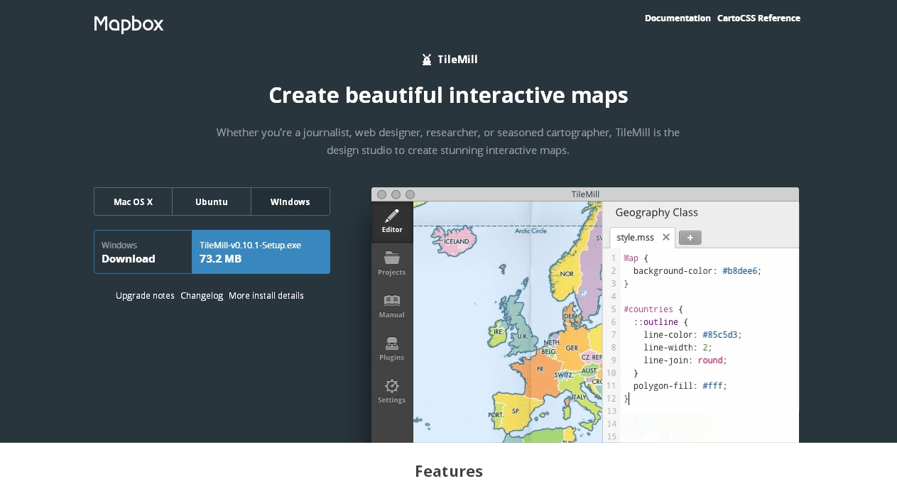
TileMill is an application for making beautiful maps. Whether you’re a journalist, web designer, researcher, or seasoned cartographer, TileMill is the design studio you need to create compelling, interactive maps.
TileMill is built on a suite of modern open source libraries including Mapnik, node.js, backbone.js, express and CodeMirror. Every map you make in TileMill is mobile ready. By leveraging the portable, fast MBTiles format, each TileMill map looks and works great on the web and offline.
3. Migrations Map
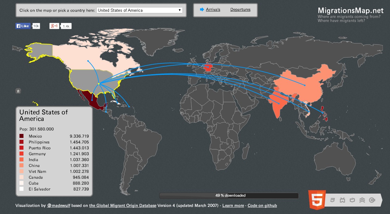
Have you ever create a really good looking interactive map using HTML5 and jQuery? MigrationsMap.net allows you to see for every country X in the world either the top ten providing countries of lifetime migrants to X or the top ten receiving countries of lifetime migrants from X.
4. Mapbox
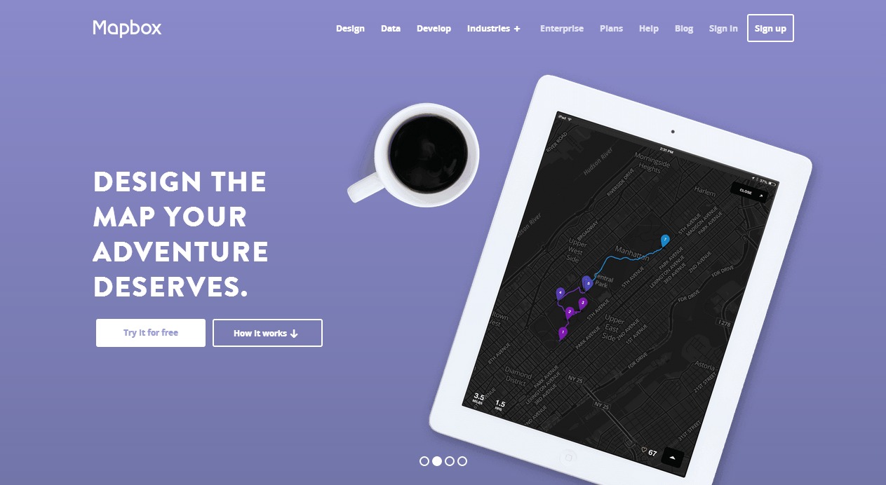
MapBox is a suite of open source tools for creating custom maps in Amazon’s cloud infrastructure. MapBox’s TileMill toolkit is a fully configured open source tile rendering engine designed to create maps using any data set, whether your private data or freely available public sources.
5. Umapper
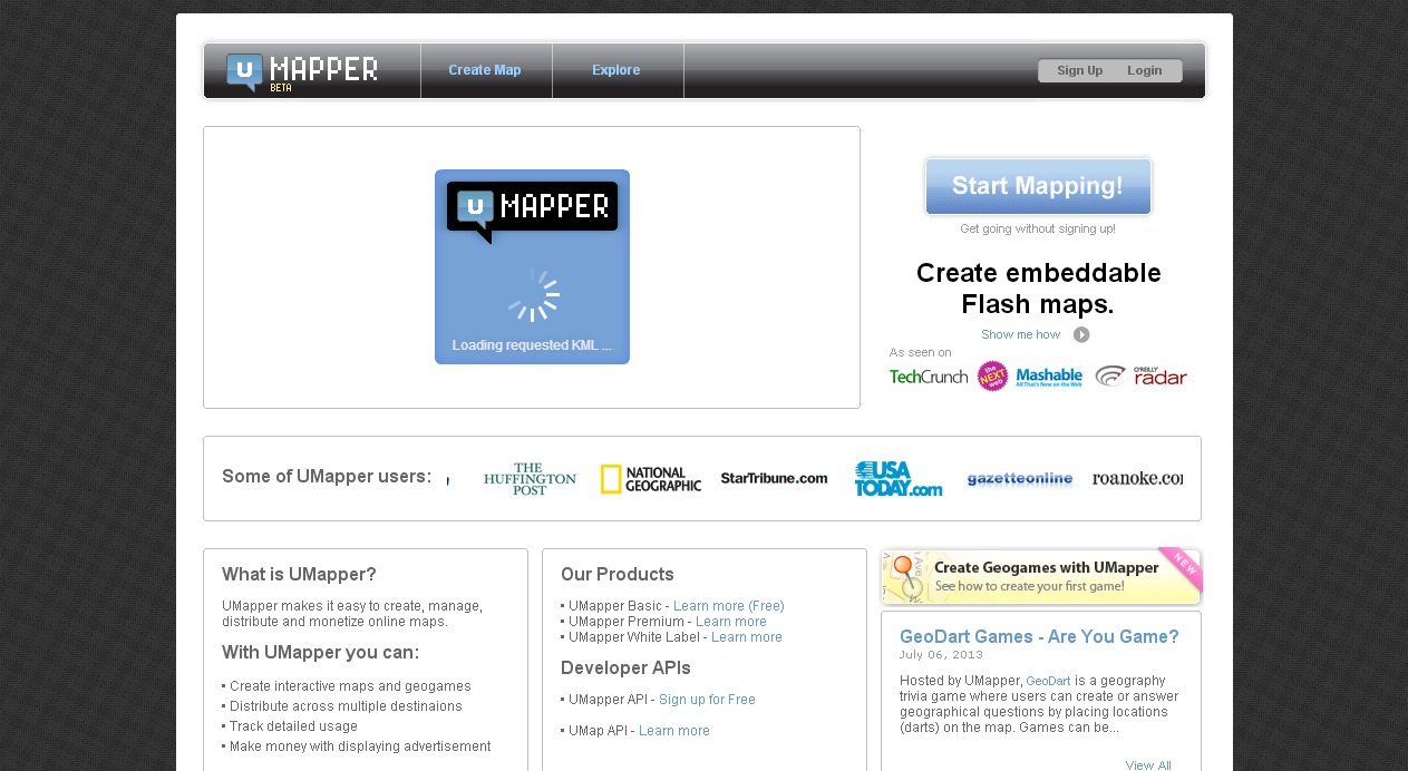
UMapper is the first application of its kind; it is a visual, universal, web-based map authoring application. UMapper makes it easier than ever to create embeddable maps for Adobe Flash™ and distribute them through a website, blog, or social network. UMapper’s visual map editor enables users of any skill level to add points, draw shapes and add interactive overlays to a map.
6. Click 2 Map
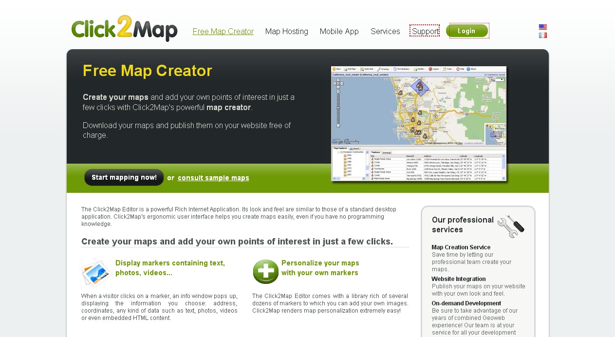
The Click2Map Editor is a powerful Rich Internet Application. Its look and feel are similar to those of a standard desktop application. Click2Map’s ergonomic user interface helps you create maps easily, even if you have no programming knowledge. The Click2Map Editor comes with a library rich of several dozens of markers to which you can add your own images. Click2Map renders map personalization extremely easy!
7. Scribblemaps
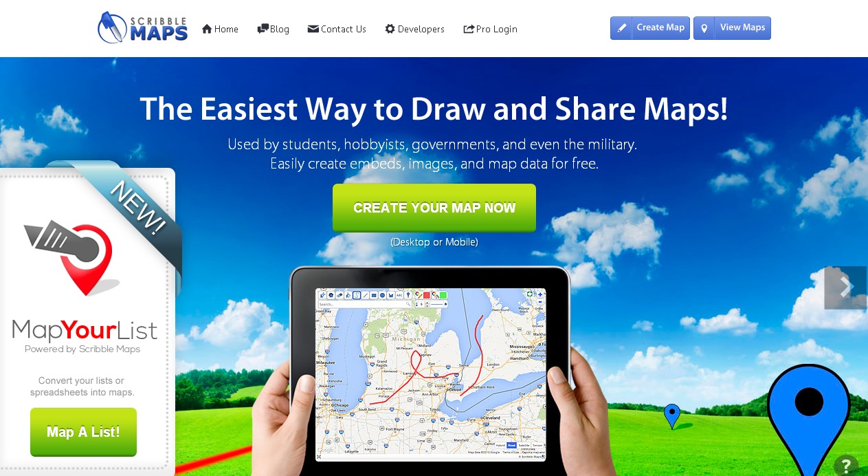
Scribble Maps is a mapping tool that provides a comfortable platform for drawing and sharing maps. Using this tool, you can easily add custom images, place text and markers, draw shapes, calulcate distance, save a map in PDF format and much more.
8. Map Tiler
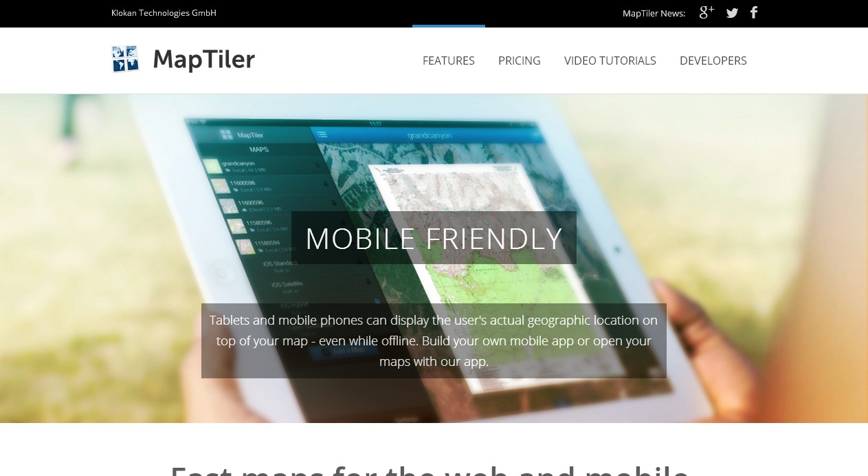
MapTiler allows efficient and fast multi-core paralellized rendering of raster geodata (TIFF/GeoTIFF, MrSID, ECW, JPEG2000, Erdas HFA, NOAA BSB/KAP, Ozi Explorer OZF2/OZFx3, JPEG, GIF, PNG and more…) into map tiles suitable for Google Maps API mashups (OpenStreetMap, Microsoft Bing, MapQuest, MapBox, Google Earth; MBTiles format is supported), native mobile applications (iPhone/iPad/Android) with Apple MapKit, RouteMe or OSMDroid. It automatically produces large seamless maps from several input files (MapTiler Pro) and directly optimizes the produced tiles for minimal filesize which allows extremely fast distribution of maps from any ordinary webserver or from a cloud CDN (Rackspace Cloud Files, Apache, PHP, Linux, DropBox, Google Drive, Amazon S3/CloudFront, Google Cloud Storage).
9. Kartograph
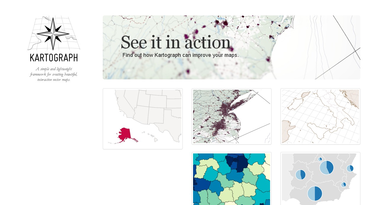
Kartograph is a new framework for building interactive map applications without Google Maps or any other mapping service. It was created with the needs of designers and data journalists in mind. The core concept of Kartograph is to separate the mapping process in the map generation and map rendering part. The client-side library kartograph.js renders pre-generated maps stored in SVG files.
10. ZeeMaps
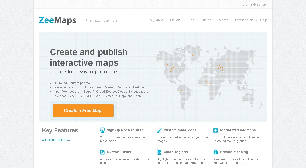
ZeeMaps lets you design and publish your interactive maps without having to sign up. By using ZeeMaps, you can place customizable markers and highlight countries, states and cities too. You can add video, audio or sound clips along with the markers. In addition to that, you can add customizable search fields for your map as well.
11. Heatmap Tool
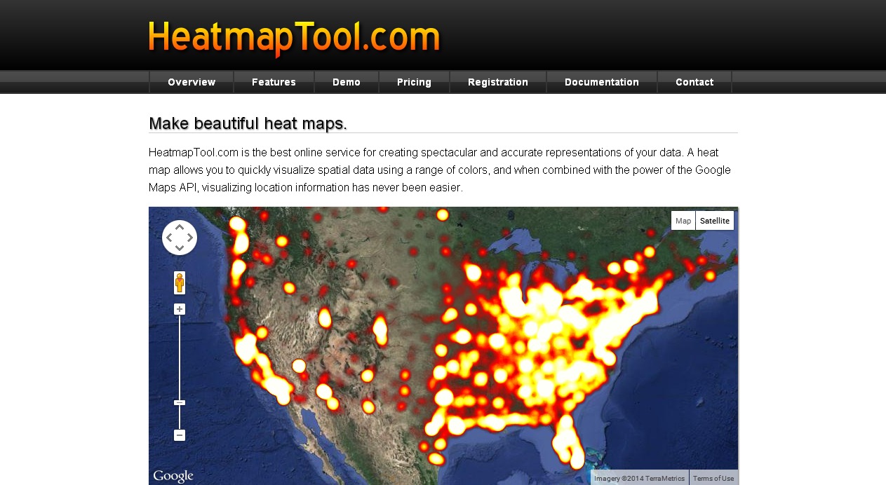
HeatmapTool.com is the best online service for creating spectacular and accurate representations of your data. A heat map allows you to quickly visualize spatial data using a range of colors, and when combined with the power of the Google Maps API, visualizing location information has never been easier.
12. GmapGIS
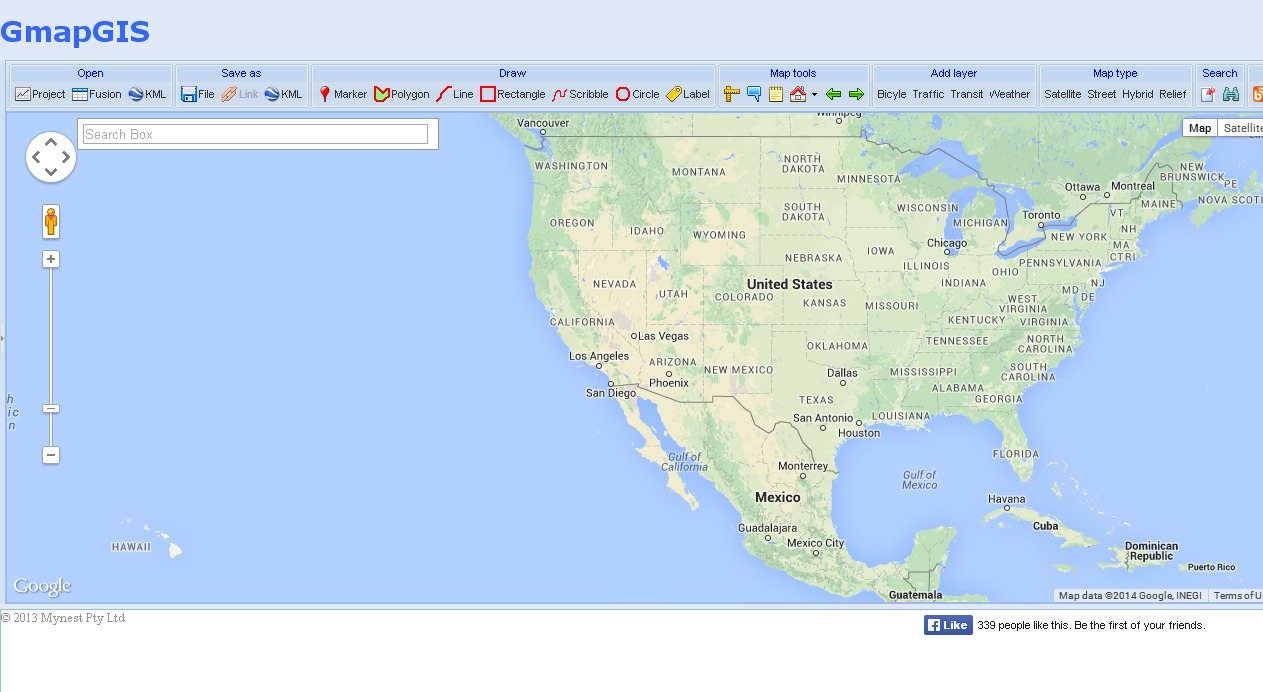
With GmapGIS you can easily draw lines, shapes, add labels, add markers and measure the distance on maps without using a Google account. Once you are done drawing and labeling a map, a link is automatically generated for your map which you can share with others. With GmapGIS, you can choose to save the map in a KML format or view it in Google Earth.
13. TargetMap
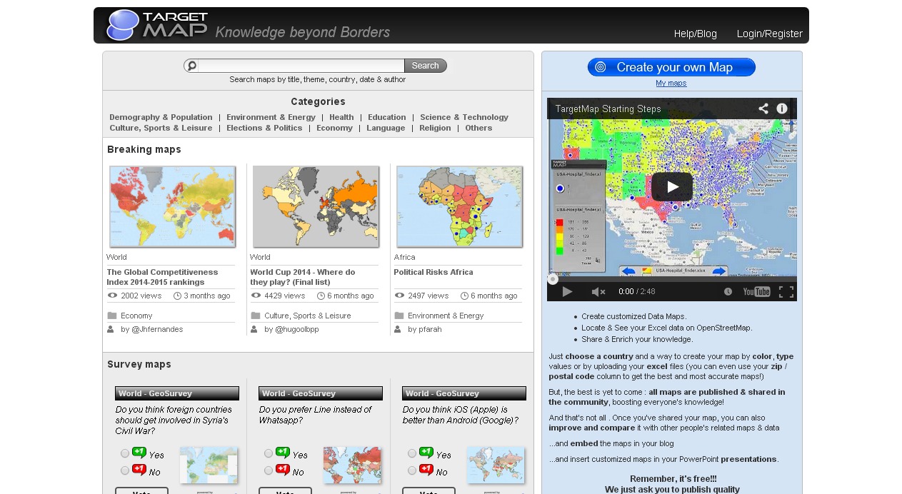
TargetMap is the easiest way to create and share customized data maps on line. It allows everyone (from individuals to large organizations) to represent their data on maps of any country in the world and to share their knowledge with the whole Internet Community as part of the bargain.
14. GeoCommons
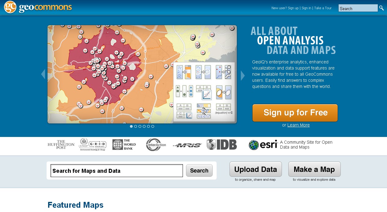
It allows us to create, use and share rich interactive maps regardless of your experience with mapping tools. It lets you map real-time social data and over 50,000 available open source data sets.
15. Batchgeo
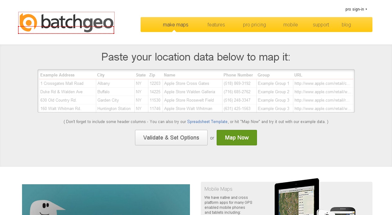
It’s the fastest way to create Google Maps from your data. It accepts addresses, intersections, cities, states, and postal codes. We do the hard work of figuring out where all your data lives in the real world.


